- English
Languages:
This site is created using Wikimapia data. Wikimapia is an open-content collaborative map project contributed by volunteers around the world. It contains information about 32829558 places and counting.
Learn more about Wikimapia and cityguides.
Chandrapur
Tehsil Chandrapur, District Chandrapur, Maharashtra.
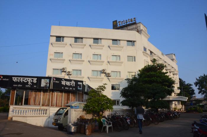
Chandrapur (formerly Chanda) is a city and a Municipal Corporation in Chandrapur district in Maharashtra state, India. It is also the headquarters of Chandrapur district.
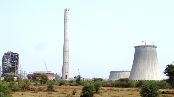
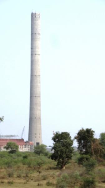
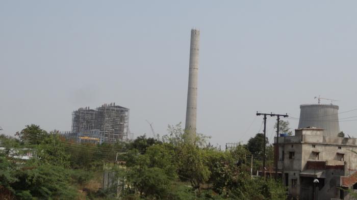
The city of Chandrapur has ancient temples of the goddess Mahakali and of Anchaleshwar, a form of the god Shiva. The region is very rich in mineral wealth such as iron ore, limestone and coal. Many cement factories are located in this region. Due to large number of coal mines present around the city, the city is also known as The City of Black Gold.
The city is located on the confluence of rivers Erai and Zarpat. The northern portion of the city is at high elevation and southern at low as per topographical map. The old city is surrounded by walls. These walls were called as Parkots.These walls have four gates to enter and leave the old city namely Jatpura Gate, Anchaleshwar Gate, Pathanpura Gate and Binba Gate. Also they have four windows (Khidki in Marathi) to enter and leave the old city namely Bagad Khidki,Hanuman Khidki, Vithoba Khidki and Chor Khidki. The Gaontideo Nala originates from the uplands of CSTPS. The Macchhi Nala originates from uplands of Ranger College. This Nala merges in the tank Ramala Talao located in the heart of city. River Erai has a long history of floods, the flood marks appears on the fort wall of city. The North South length of Chandrapur city is about 10 km and East West is 7 km. In the north of city, there is a dam constructed on river Erai, having the capacity of 207 million cubic meters. The city was established by Khandkya Ballal Sah, a Gond king.
Chandrapur, the headquarters of the district to which it gives its name, is the largest city in the district. The city of Chandrapur is located at 19.57°N latitude and 79.18°E longitude in the eastern Maharashtra, it is situated at 189.90 meter above the mean sea level(MSL). Area of the city is about 70.02 km². The north-south length of the city is about 10.6 km, while the east-west length is about 7.6 km.
Chandrapur is known for its hot and dry climate. Humidity is very low in the region. Temperatures start decreasing in October with December being the coldest month, with a minimum average temperature of 9 °C and maximum of 23.2 °C. Temperatures begin to rise in February. May is the hottest month with a mean maximum temperature of 43 °C and minimum of 28.2 °C. The highest temperature ever recorded in Chandrapur was 49 °C on June 2, 2007 and lowest temperature ever recorded was 2.8 °C on January 10, 1899.
Monsoon marks the rainy season, lasting form June to September, bringing most of the rainfall to the region. Chandrapur receives an average annual rainfall of 1249.4 mm. Average number of rainy days is 59.2.
On the death of Gond king Surja alias Ser Sah, his son Khandkya Ballal came to the throne. This prince had tumours all over his body. He was looked after by his wise and beautiful wife. When no remedy could heal Khandkya she induced him to leave Sirpur and reside on the northern bank of the Wardha, where he erected a fort named Ballarpur. One day, as the legend goes, while the king was hunting north-west of Ballalpur he grew thirsty and rode up to the dry bed of the Jharpat river in search of water. He discovered water trickling from a hole, and after drinking, washed his face, hands and feet. That night he slept soundly for the first time in his life. Next morning the queen was delighted to see that many of the tumours on her husband's body had disappeared. On enquiry the wonderful cure was ascribed to the water of Jharpat where the King drank water and washed his face. The queen requested Khandkya to take her to the spot where he had quenched his thirst. Both proceeded to the Jharpat and in a little while the hole was found. On clearing the grass and sand there were seen five footprints of a cow in the solid rock, each filled with water. The water source at the spot was inexhaustible. The place was holy-the Tirtha of Acalesvar of the Treta Yuga fame. When the King bathed in the water all the tumours on his body vanished. That night the royal party encamped near the place, and in the visions of sleep Acalesvar appeared to the King, and spoke comforting words. On hearing the dream the queen advised the erection of a temple over the healing waters, and the King, approving of the idea, sent his officers to collect skilled architects for the work. He took great interest in its progress. One morning, after his daily visit, while he was riding he saw a hare darting out of a bush and chasing his dog. Astonished at this unusual sight he looked on and saw the dog running in a wide circle while the hare took zig-zag cuts to catch it. At one point it closed in with the dog which how-ever shook it off and continued its flight. On nearing the point where the chase had commenced, the dog turned on and killed the hare. The King found that on the forehead of the hare was a white spot. Pondering what this might mean, he rode home and recounted to his wife all that he had seen. That wise woman counselled that the occurrence was a good omen, and that a fortified city should he built within the circuit of the chase, with walls following the hare's track. She further advised that special bastions should be erected, both where the hare had closed in upon the dog and where the dog had killed the hare. She ex-pressed her belief that the latter point would prove to be dangerous to the city in future. The King lost no time in giving effect to her suggestions. A trench was dug along the hare's track, which was easily discernible by the footprints of the King's horse. The gates and bastions were planned, the whole marked out, and the foundations commenced. The work was under the management of the Rajput officers of the King, called Tel Thakurs. Thus began the building of the city of Chandrapur. Some scholars derive the name from Indupur (city of the moon), which stood near the Jharpat in the Treta Yuga, but the common people see its origin in the white spot (Chandra) which marked the forehead of the wondrous hare. Khandkya Ballal Sah thus founded the city of Chandrapur.
Gond Kings ruled the area till 1751 after which Maratha period started. Raghuji Bhosale, the last King of the dynasty, died heirless in 1853 and Nagpur province together with Chandrapur was declared annexed to British Empire.
In 1854, Chandrapur formed and independent district and in 1874, it comprised of three tehsils Viz Mul, Warora and Bramhpuri. In 1874, however, upper Godavai district of Madras was abolished and four tehsils were added to Chandrapur to form one tehsil with Sironcha as its headquarters. In 1895, the headquarters of one tehsil transferred to MUl to Chandrapur. A new tehsil with headquarter at Gadchoroli was created in 1905 by transfer of zamindari estates from Bramhpuri and Chandrapur tehsil. An small zamindari tract from Chandrapur district as transferred to newly from districts in 1907. In the same year and area of about 1560 sq. km. comprising of three divisions of the lower Sironcha tehsil namely Cherla, Albak nad Nugir were transferred to Madras State. No major changes occurred in the boundaries of the district or its tehsils between 1911-1955. Consequent upon reorganization of the states in 1956, the district was transferred from Madhya Pradesh to Bombay state. In the same Rajura tehsil, a part of Adilabad district of Hydrabad state, was transferred to Nanded district subsequently it was transferred to Chandrapur district in 1959. the district became part of the Maharashtra since its creation in May 1960. For administrative convenience and industrial and agricultural development , this district was again divided into Chandrapur and Gadchiroli district after 1981 census. Chandrapur district now comprises of the tehsil of Chandrapur , Bhadravati, Warora, Chimur, Nagbhir, Bramhpuri, Sindhewahi, Mul, Gondpipri, Pomburna, Saoli, Rajura, Korpana, Jivati and Ballarpur.
Wikipedia article: http://en.wikipedia.org/wiki/Chandrapur
Tehsil Chandrapur, District Chandrapur, Maharashtra.
Chandrapur (formerly Chanda) is a city and a Municipal Corporation in Chandrapur district in Maharashtra state, India. It is also the headquarters of Chandrapur district.
The city of Chandrapur has ancient temples of the goddess Mahakali and of Anchaleshwar, a form of the god Shiva. The region is very rich in mineral wealth such as iron ore, limestone and coal. Many cement factories are located in this region. Due to large number of coal mines present around the city, the city is also known as The City of Black Gold.
The city is located on the confluence of rivers Erai and Zarpat. The northern portion of the city is at high elevation...
 Reduce description
Chandrapur on the map.

Recent city comments: